The Pyramid
Challenge yourself with a strenuous walk to the top of this massive granite dome for breathtaking views over the park.
- Journey type
- Walk
- Distance
- 3.6km return Start and finish points are the same and the traveller must return via the same path
- Time suggested
- Allow 1.5–2hr walking time.
- Grade
- Grade 4 walking track
Accessible by
- Conventional vehicle
- Bicycle
Journey facilities
- Lookout (natural)
- Walking
-
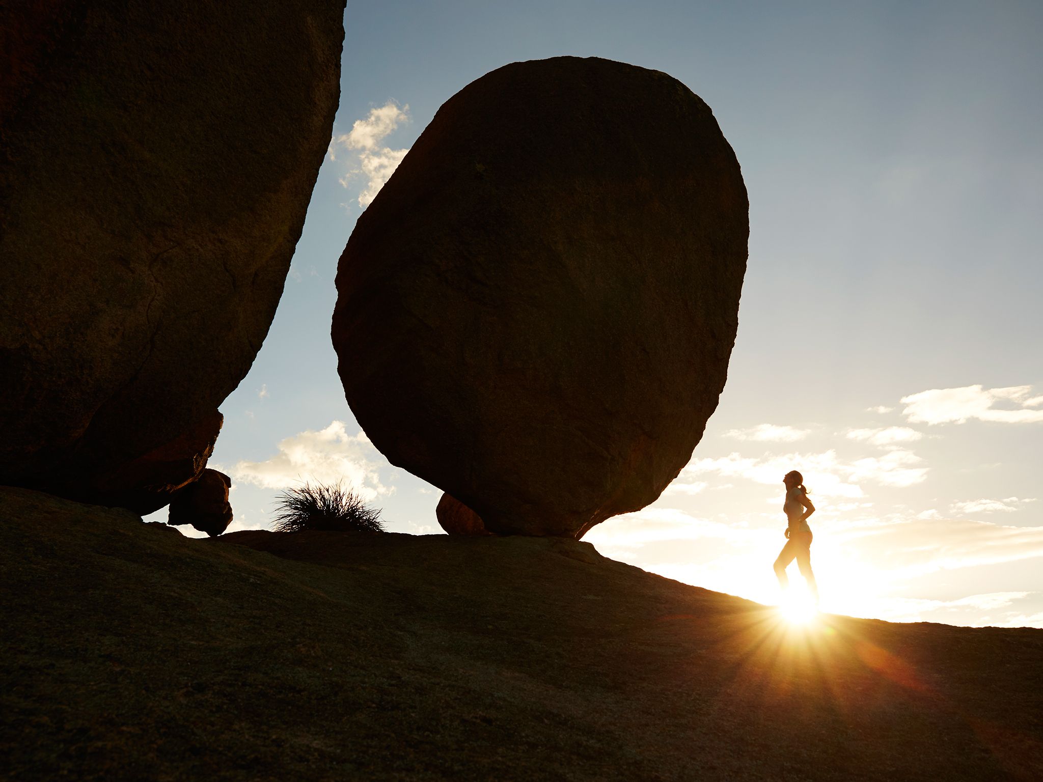
![Climb The Pyramid for close-up views of the gravity-defying Balancing Rock.]() Climb The Pyramid for close-up views of the gravity-defying Balancing Rock.
Photo credit: Maxime Coquard © Queensland Government
Climb The Pyramid for close-up views of the gravity-defying Balancing Rock.
Photo credit: Maxime Coquard © Queensland Government
-
![The peak of The Pyramid stands sentinel above Girraween's majestic forests.]() The peak of The Pyramid stands sentinel above Girraween's majestic forests.
Photo credit: Maxime Coquard © Queensland Government
The peak of The Pyramid stands sentinel above Girraween's majestic forests.
Photo credit: Maxime Coquard © Queensland Government
-
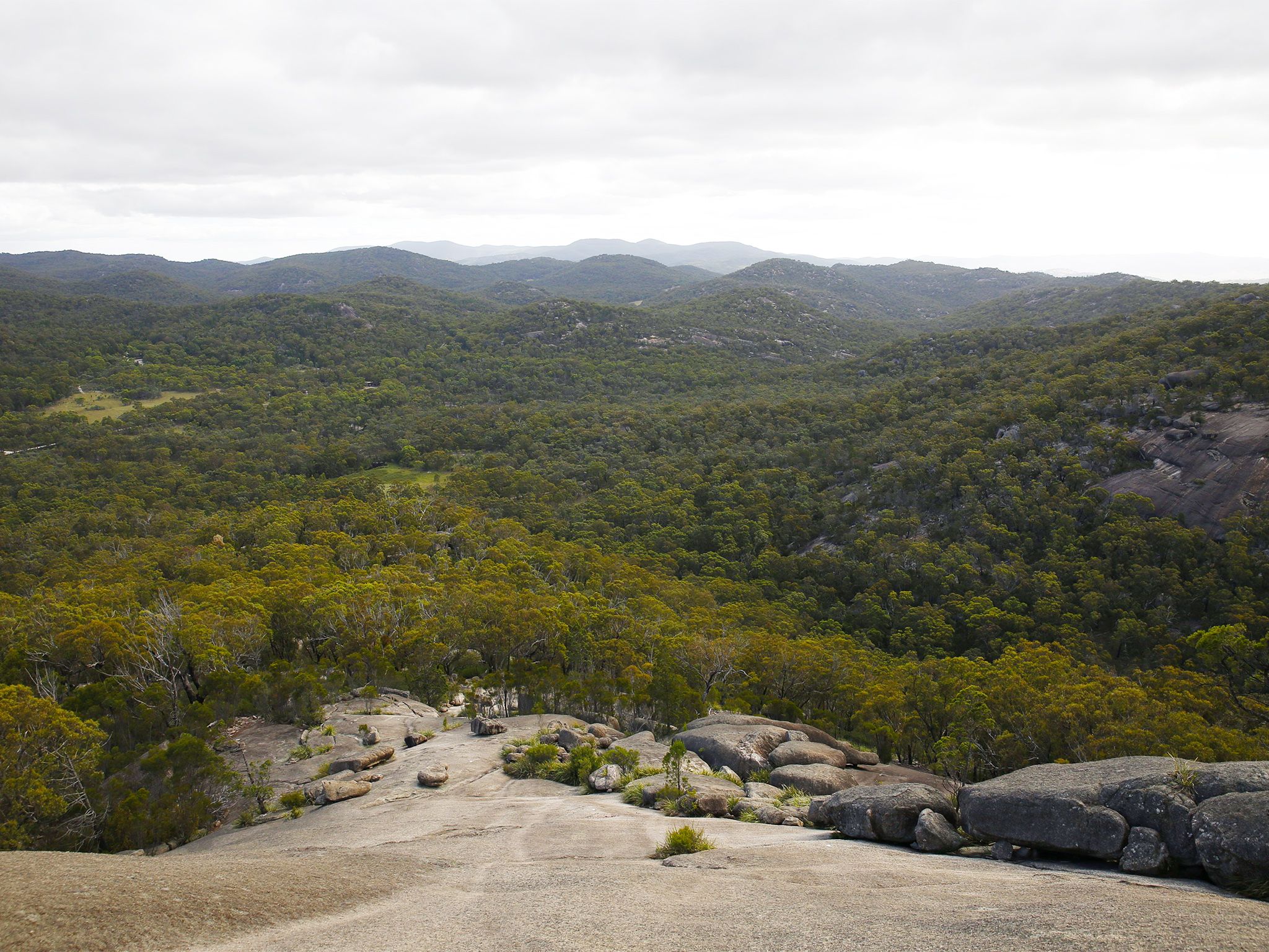
![Views over Girraween National Park from The Pyramid walk will take your breath away.]() Views over Girraween National Park from The Pyramid walk will take your breath away.
Photo credit: Maxime Coquard © Tourism and Events Queensland
Views over Girraween National Park from The Pyramid walk will take your breath away.
Photo credit: Maxime Coquard © Tourism and Events Queensland
-
![The steep climb up The Pyramid walk can be strenuous.]() The steep climb up The Pyramid walk can be strenuous.
Photo credit: © Lachlan Gardiner
The steep climb up The Pyramid walk can be strenuous.
Photo credit: © Lachlan Gardiner
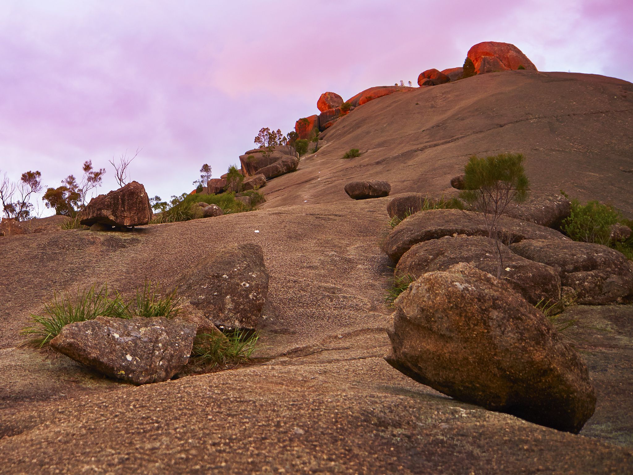
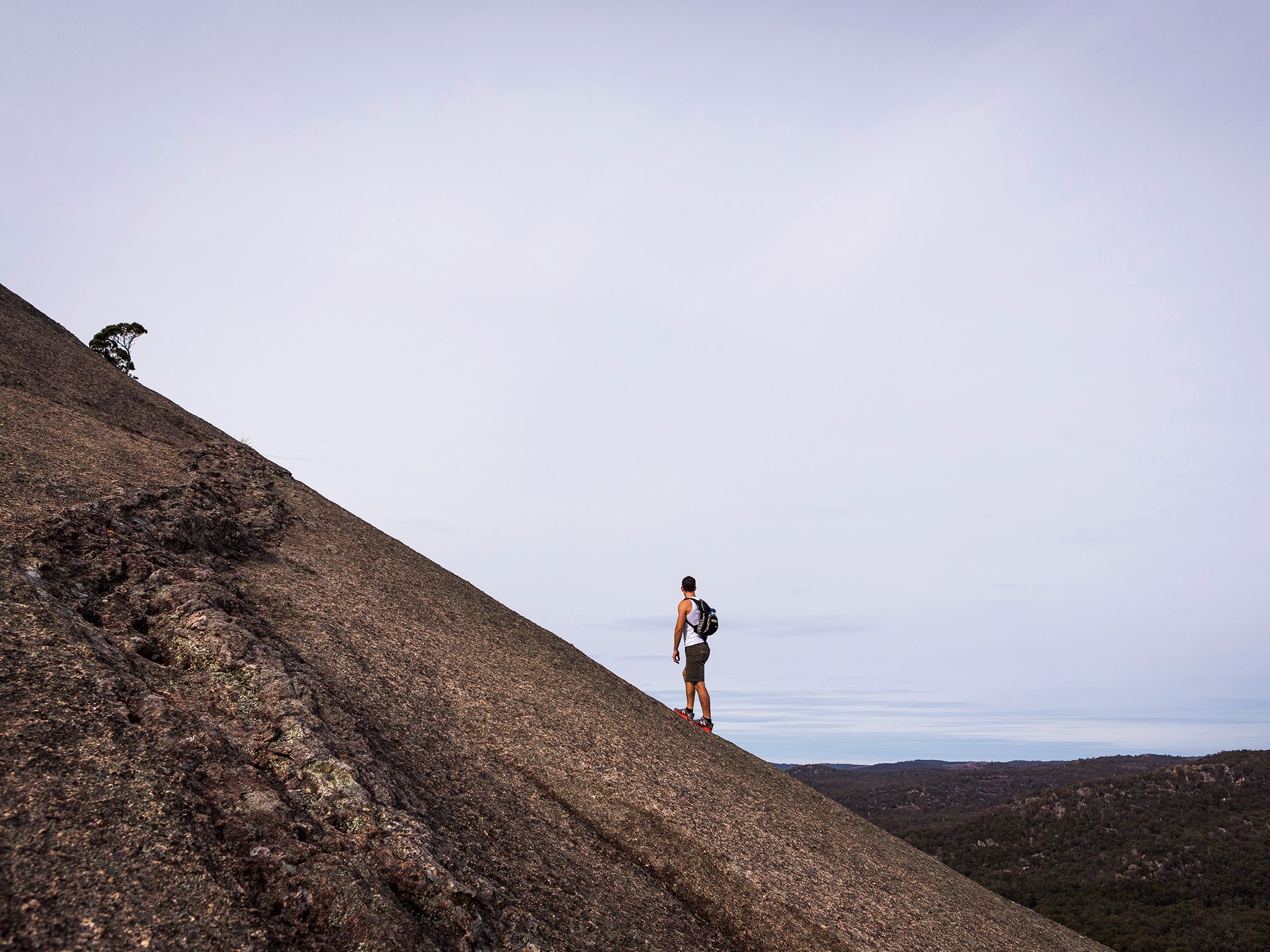
From Granite Arch, weave your way steadily uphill through eucalypt forests, past rocky outcrops and grassy flats to the base of the Pyramid. Illuminated in sunlight, the peak stands sentinel above Girraween's majestic forests. Climb to the top for an exhilarating hike and superb views. You need to have a good level of fitness and stamina to climb the steep section of exposed rock near the summit.
At the top, catch your breath sitting under Balancing Rock and prepare to be mesmerised by the expansive views spanning the forests and across to the Second Pyramid. Return along the same track or go for an adventure detouring onto the park's other northern walking tracks.
Getting there and getting around
The Pyramid track is one of the northern walks in Girraween National Park, located on the Queensland–New South Wales border, 260km by road south-west of Brisbane.
The Pyramid track begins at the Bald Rock Creek day-use area. It can also be reached from the Bald Rock Creek camping area via Bald Rock Creek circuit.
There are two access roads (northern and western) to these sites, both accessible by conventional vehicles.
From Brisbane to western entrance
- Drive about 220km south-west along the New England Highway via Warwick to Stanthorpe.
- Continue 26km along the New England Highway to Wyberba (30km north of Tenterfield).
- Turn onto Pyramids Road and follow this winding bitumen road through the Wyberba Valley 6km east to the western park entrance.
- Drive about 3km on Pyramids Road to Bald Rock Creek day-use area.
From Brisbane to northern entrance
- Drive about 220km south-west along the New England Highway via Warwick to Stanthorpe.
- Turn onto Sugarloaf Road, which turns into Eukey Road and drive about 15km via Storm King Dam towards Eukey.
- About 1km before Eukey, turn onto Breens Road, drive 2.5km then turn onto Pyramids Road and drive about 6km to the northern park entrance.
- Drive about 4km on Pyramids Road to Bald Rock Creek day-use area.
Wheelchair access
There are no wheelchair-accessible facilities.
Before you visit
Opening hours
The Pyramid is open 24 hours a day.
Check park alerts for the latest information on access, closures and conditions.
Visiting safely
For more safety information see Visiting Girraween safely and Walk with care.
- There are currently no park alerts for this park.