Park is closed
Sweetwater Lake camping area
This secluded camping area, close to the northern entrance of the park, is a beautiful place to spend a few days.
Accessible by
- 4WD
Camping area facilities
- Campfires allowed (conditions apply)
- Generators allowed (conditions apply)
- Tent camping
- Camper trailer camping
- Scenic drive
- Boating
- Fishing
-
![Camp with picturesque vistas of Sweetwater Lake.]() Camp with picturesque vistas of Sweetwater Lake.
Photo credit: © John Augusteyn
Camp with picturesque vistas of Sweetwater Lake.
Photo credit: © John Augusteyn
-
![Set up camp in the shade beside the lake.]() Set up camp in the shade beside the lake.
Photo credit: Doug Davidson © Queensland Government
Set up camp in the shade beside the lake.
Photo credit: Doug Davidson © Queensland Government

Always check
- Park alerts for the latest information on access, closures and conditions.
- Bureau of Meteorology weather forecasts.
- Current bushfire warnings and incidents and also fire bans and restrictions.
- Your camping permit is booked.
- Any park-specific camping information for
Rinyirru (Lakefield).
- Visiting Rinyirru (Lakefield) safely for important safety information.
The self-service kiosk at this park has been decommissioned.
Visitors need to book their camping permit before they visit. Book online, at an over-the-counter booking office or by phone.
Whether you're just starting or finishing your Rinyirru journey, you’ll enjoy the vistas of picturesque Sweetwater Lake from this secluded camp site.
Just as the name suggests, this stunning lake is blanketed by a dazzling display of colourful waterlilies and is home to a rich variety of waterbirds. After you’ve set up camp, grab your binoculars and camera and find the perfect vantage point to watch the waterbirds… and estuarine crocodiles!
After a peaceful night’s sleep, greet the sun and the waterbirds on the lake before packing a picnic lunch for more wildlife watching at nearby Low Lake (Rarda-Ndolphin) and the Nifold Plain.
Rinyirru (Lakefield) National Park (CYPAL) is jointly managed by the Rinyirru (Lakefield) Aboriginal Corporation and the Queensland Government.
Getting there and getting around
Sweetwater Lake camping area is in the northern part of Rinyirru (Lakefield) National Park (CYPAL), 340km north-west of Cairns, and 140km west of Cooktown, on southern Cape York Peninsula.
- This camping area is near the northern entrance to the park.
- You need a 4WD to access the park and camping area.
- Read 4WD with care for important information on 4WD safety and minimal impact driving.
From the north
- Take the Lakefield turn-off at the Musgrave Roadhouse on the Peninsula Developmental Road and drive 38km east on Marina Plains Road to the park.
- Continue 6km and turn right at the Sweetwater Lake turn-off.
- Drive a further 2km the camping area.
From the south
- Drive 2km north past Laura on the Peninsula Developmental Road and take the Lakefield turn-off.
- Drive 25km to the park.
- Continue 132km through the park, past the Lakefield ranger base, and turn left at the Sweetwater Lake turn-off.
- Drive a further 2km the camping area.
From Cape Melville
- Drive 70km from Wakooka in Cape Melville National Park to Kalpowar on the eastern boundary of Rinyirru (Lakefield) National Park (CYPAL).
- Continue 1km and turn right onto Lakefield Road.
- Drive 72km north and turn left at the Sweetwater Lake turn-off.
- The camping area is a further 2km along this road.
For tourism information for all regions in Queensland, see Queensland.com, and for friendly advice on how to get there, where to stay and what to do, find your closest accredited visitor information centre.
Before you visit
Seasonal closures
Rinyirru (Lakefield) National Park (CYPAL) is closed throughout the wet season every year.
- Camping areas south of Lakefield ranger base are closed from 1 December to 31 May.
- Camping areas north of the Lakefield ranger base are closed from 1 December to 30 June.
- These dates vary each year depending on weather and road conditions.
- Refer to the park map for location of the Lakefield ranger base and camping areas.
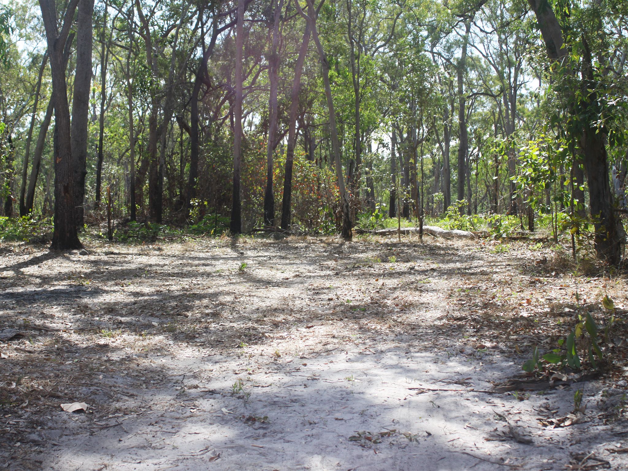
Camping area features

Camp site one at Sweetwater Lake camping area.
Photo credit: Queensland Government
Adjacent to Sweetwater Lake, this is the first camp site in the park when coming from Musgrave Roadhouse. This permanent lagoon is ideal for bird watching. Large crocodiles are frequently seen here—be croc wise in croc country.
Location: northern part of the park, adjacent to Sweetwater Lake, 2km south of Lakefield Road—by road the turn-off is 40km east of Musgrave Roadhouse and 41km north-west of Hann Crossing.
Map: Rinyirru (Lakefield) National Park (CYPAL) northern camping areas map
Access: by four-wheel-drive vehicle only. It is not accessible for caravans, campervans or buses. The access track opens after June and becomes impassable after rain.
Boat launching: manual launching (no trailer access).
Number of sites: one numbered site—maximum two cars and trailers (six people).
Camp sites are suitable for: tent camping beside your car and camper trailers.
Camp site surface: dirt and grass (seasonal).
Shade: nil.
Facilities: nil.
Open fires: allowed (except when fire bans apply). Fuel stoves are recommended. Do not collect firewood in the park.
Generators: only generators operated at less than 65dB(A), when measured 7m from the generator, are permitted, and only between 8am and 7pm.
Essentials to bring: adequate food and drinking water, equipment for treating water, rubbish bags, insect repellent, mosquito nets, fuel stove and adequate fuel and spare parts for your vehicle. Read more about before you visit.
Bookings: book online, over-the-counter or by phone prior to arrival. Bookings are essential and should be made well in advance for May to August and the September school holidays.
Mobile phone coverage: not available.
Upcoming camping area availability
Visiting safely
For more safety information see Visiting Rinyirru (Lakefield) safely and camp with care.
- Wet season closure: Rinyirru (Lakefield) National Park (CYPAL) 1 December 2023 to 14 July 2024